Its great when last minute plans work out so well. We were not sure if we would make it out on the boat today but ended up going to Marvin Key. Our plans were up in the air this morning, but when our neighbor Bruce asked us if we wanted to go to Marvin Key with a few other neighbors, we decided to go. It was a great afternoon!
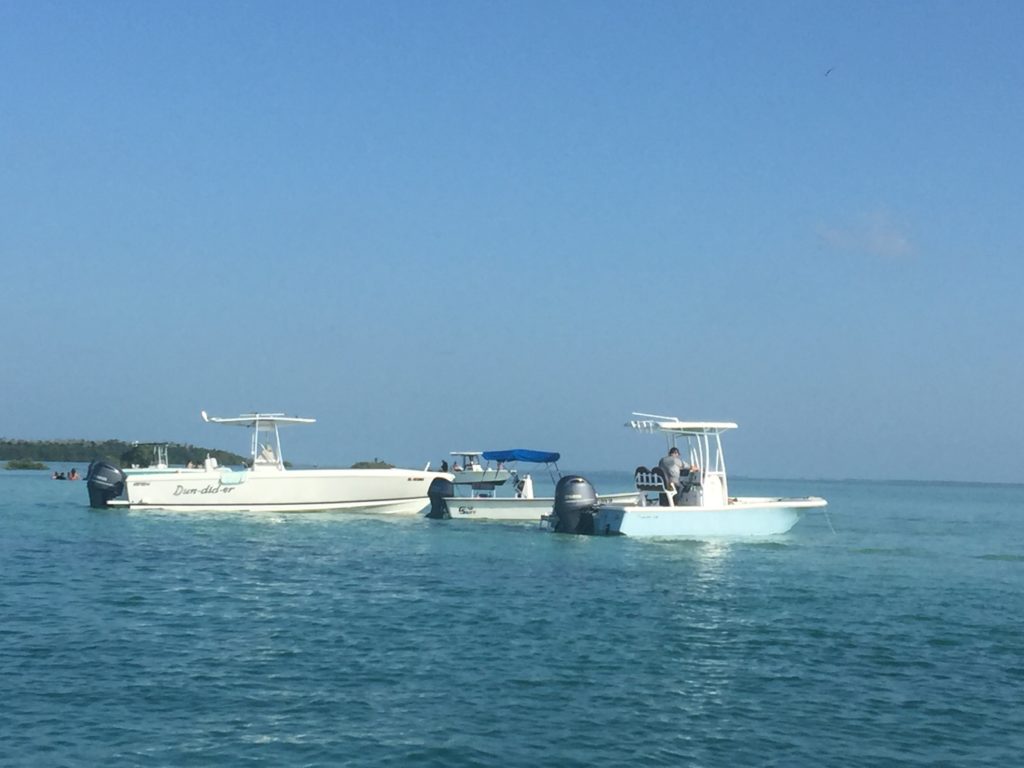
There were 6 boats from VO headed to Marvin. One boat had to turn around because of mechanical issues. I was not sure if all of the boats would be able to make it through some of the flats, because it was dead low and they run a little deeper than we do. At one point the depth finder was only reading 1.5′. While this does not account for the depth of the boat, it was the lowest reading I have ever seen on the depth finder. There was even one section where we could feel the boat lift from the shallow water. After Randy trimmed the motor to lift the prop a little off the bottom, we made it through with no problem.
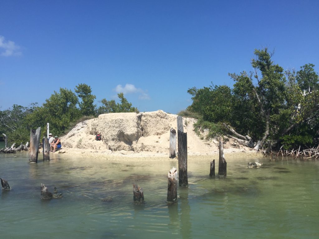
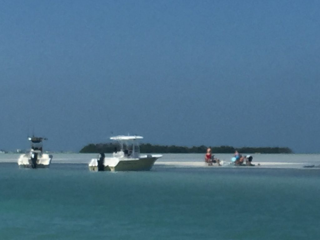
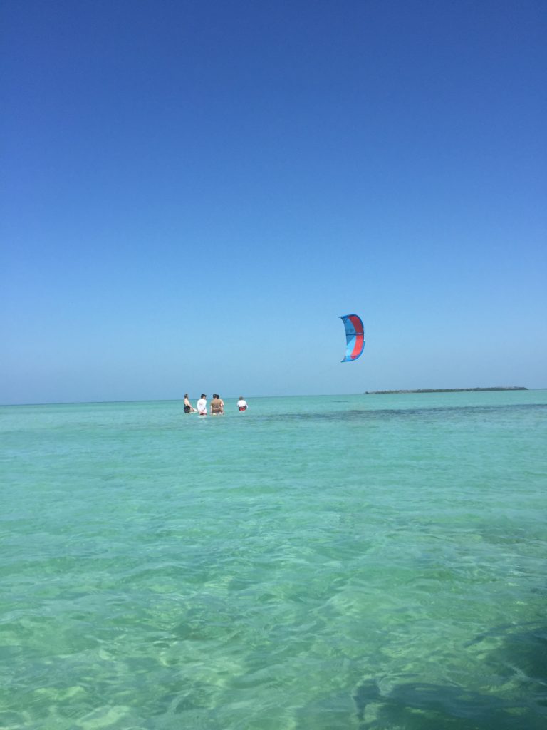
Because it was such a nice day, and the weekend, it was very crowded at Marvin. The sandbar was exposed so there was lots of room to anchor. But because we were late in getting there, the best places to anchor were already taken. The area where we anchored was a little farther down than where we normally anchor. It was still a great spot, but it did submerge prior to high tide. Once the tide started rising, I spent some time just sitting on the boat. I hope I don’t suffer tonight for all the time bobbling around. I think I will take some Bonine before bed. We did see a shark swim by about 50 yards out. Everyone got on their boat for a little while once it was spotted!
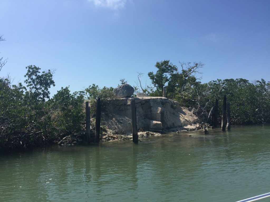
One of the boats with us had a T-top that would no longer fit under the US-1 bridge, because of the incoming tide. He asked Bruce to lead us back out to the Gulf. We knew we could not go straight out to the Gulf from where we were anchored because we had tried coming in from the Gulf several years ago. Randy ended up walking the boat in over the hard coral when we tried. Bruce showed us how to go behind one of the mangrove islands where the water was deeper and we could get out to the Gulf. We all just took it slow. When we got on the other side of this mangrove, we saw the anchorage where we went with the Jet Skis on our first trip out to Marvin many years ago. Because of the high tide, it looked very different and none of the bar was exposed, but we think it was the same place.
It was a little longer in mileage to go back to VO this way, (14.3 NM vs. 13.8 NM) but it was an easy run in the Gulf and through Johnson Channel once we cleared the shallow water in front of Marvin.