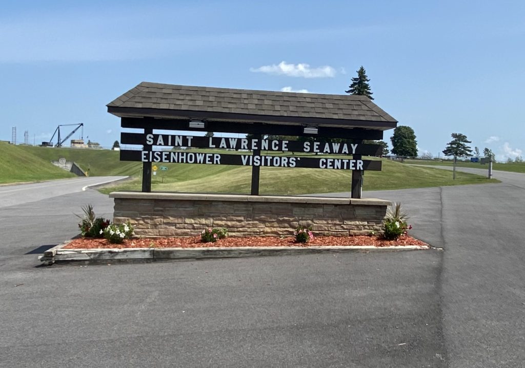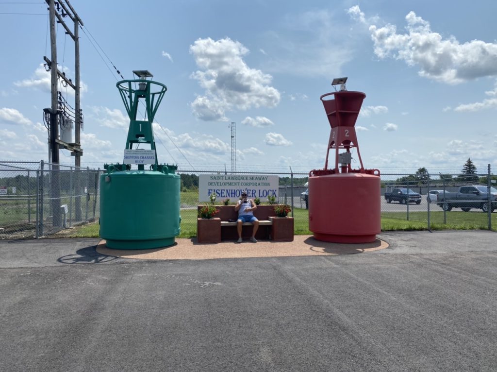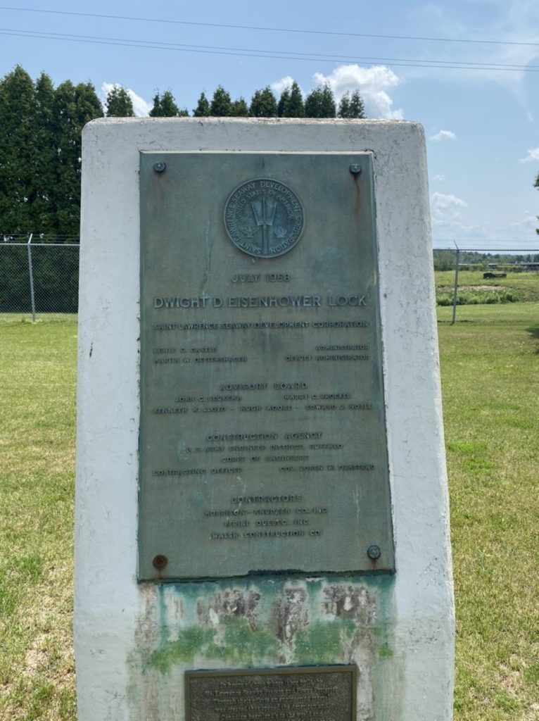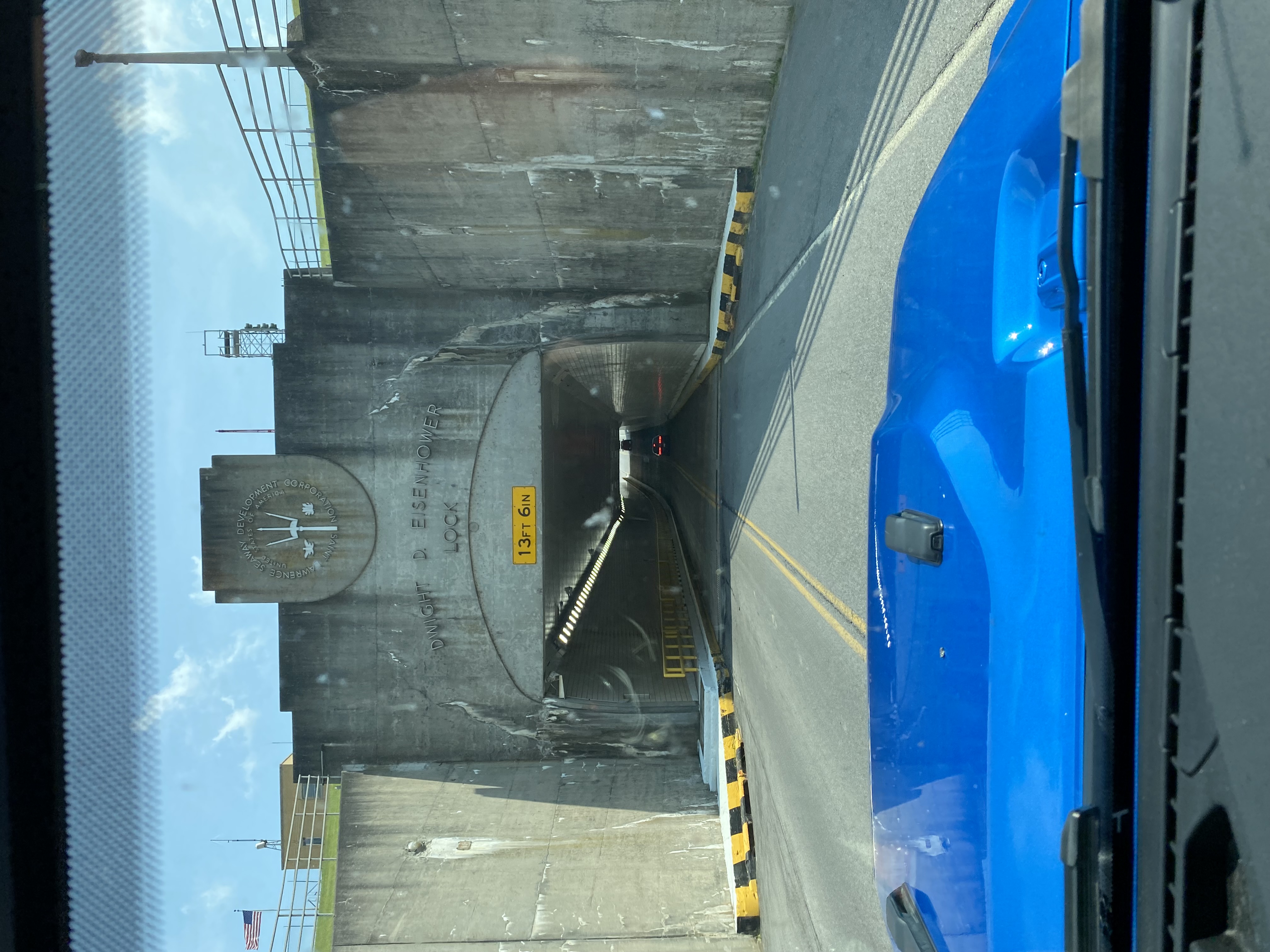
We took advantage of the nice day to visit the U.S. Eisenhower Lock in Massena, New York. This lock was constructed on the portion of the St. Lawrence River known as the “Long Sault” by the US Army Corps of Engineers. Originally named the “Robinson Bay Lock” the lock was renamed for President Dwight Eisenhower after his term was over. It is one of the seven canal locks on the St. Lawrence Seaway. The $30 toll charge per lock from pleasure craft vehicles traveling downbound is collected from the officer in charge at the Eisenhower Lock. The tolls for upbound traffic are collected from the officer in charge at the Snell Lock.
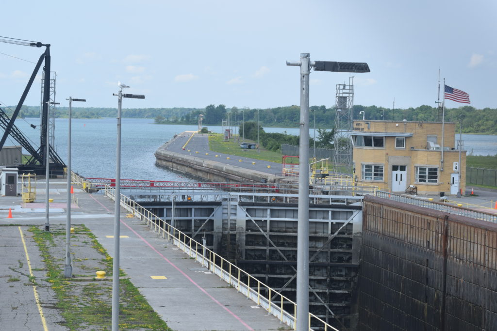
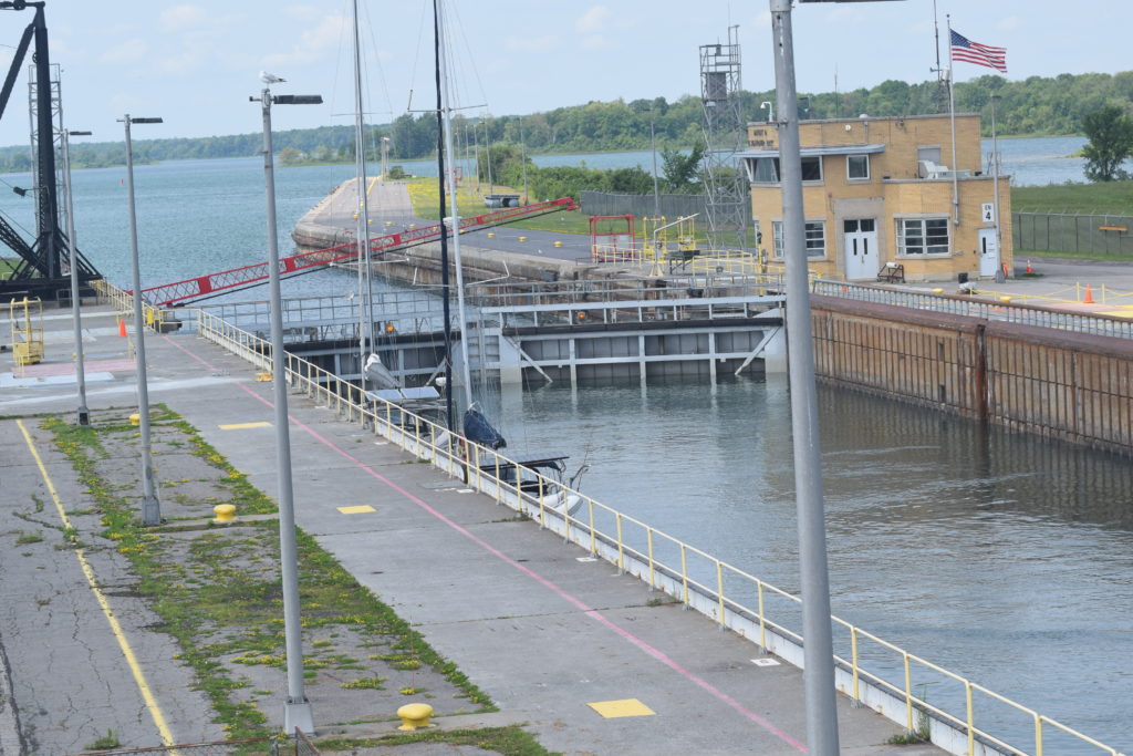
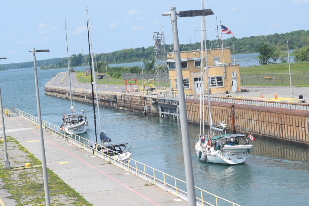
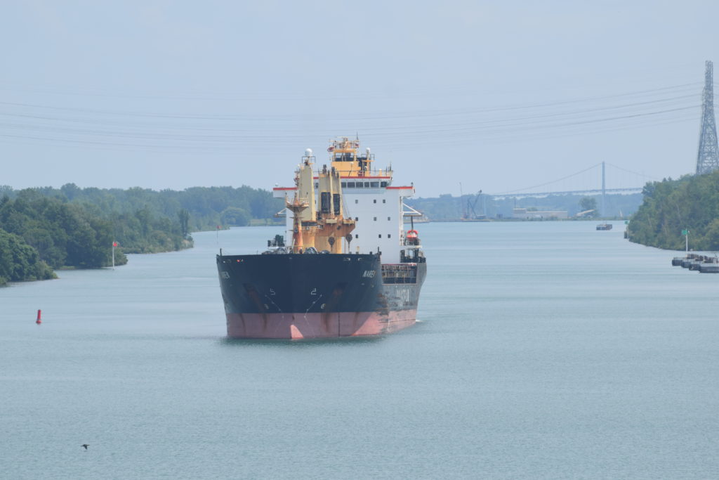
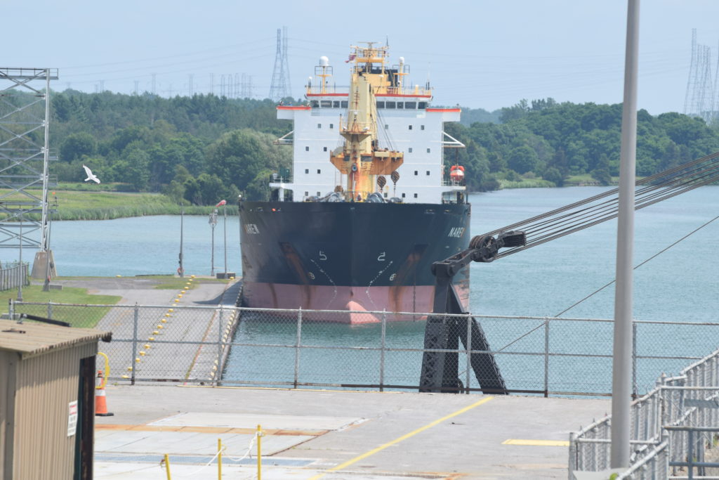
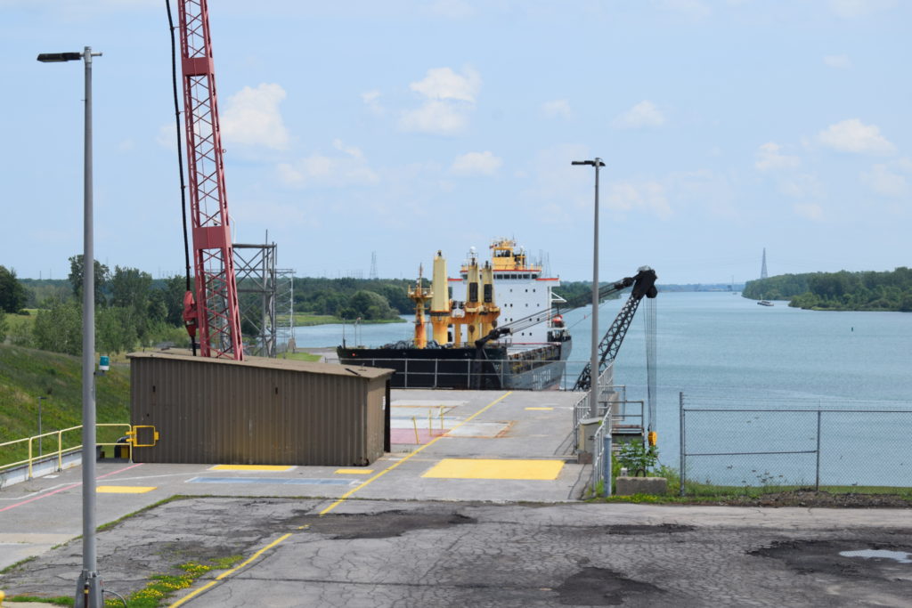
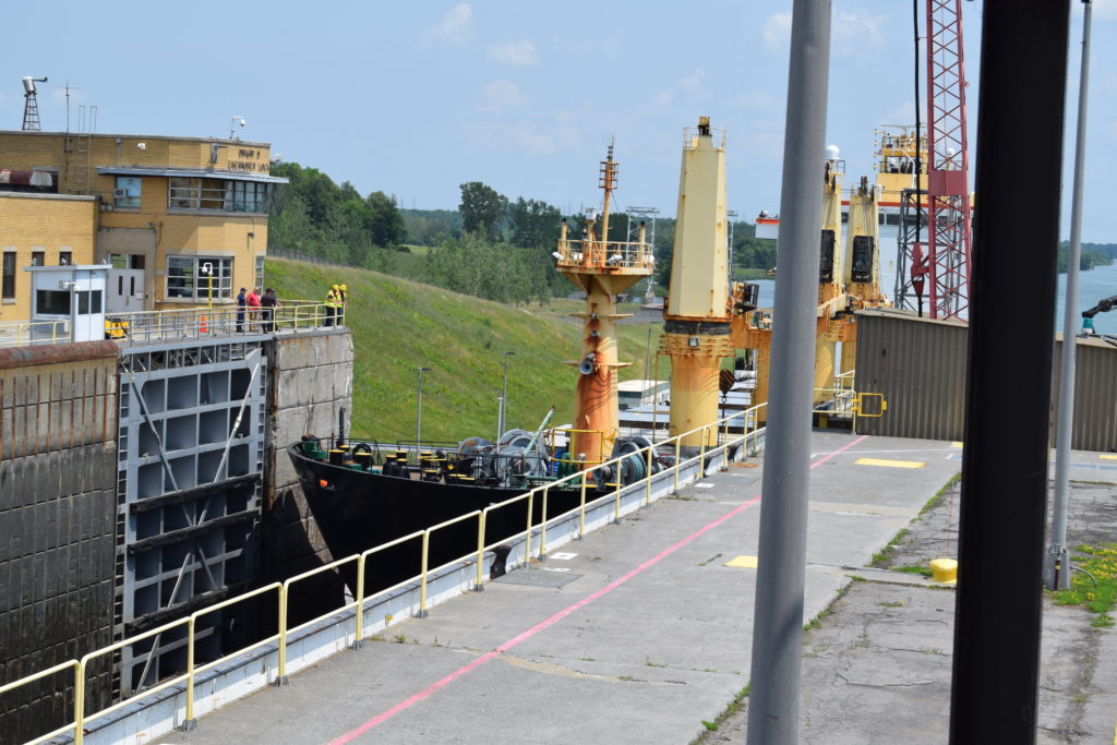
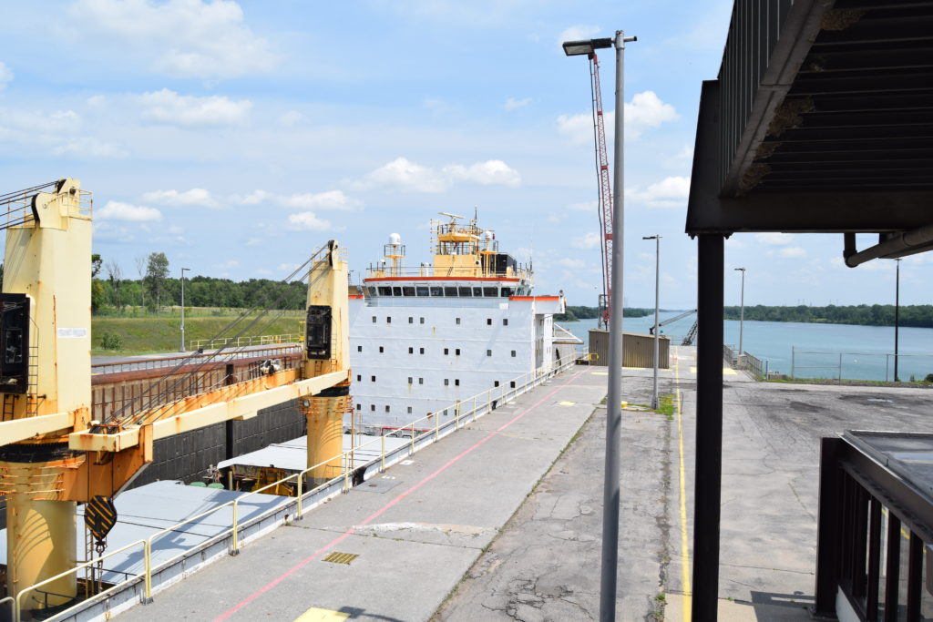
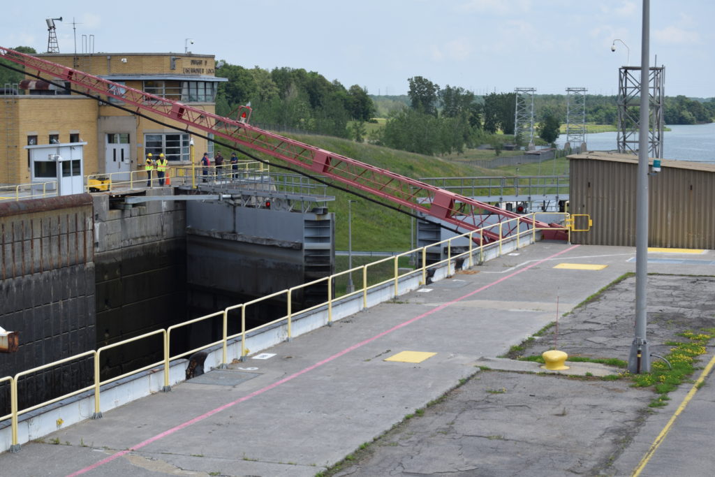
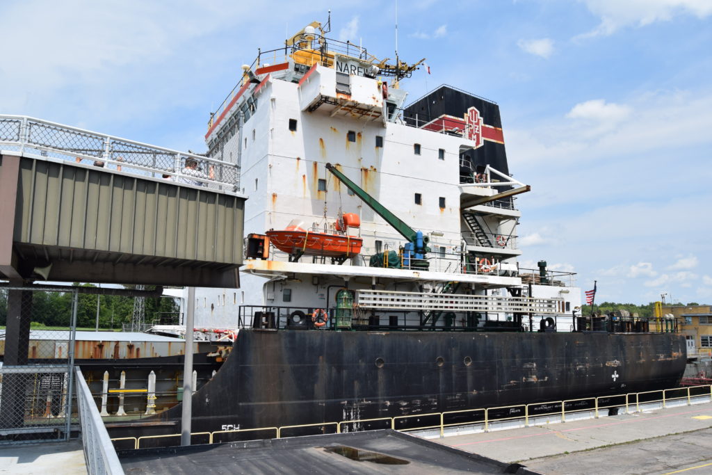
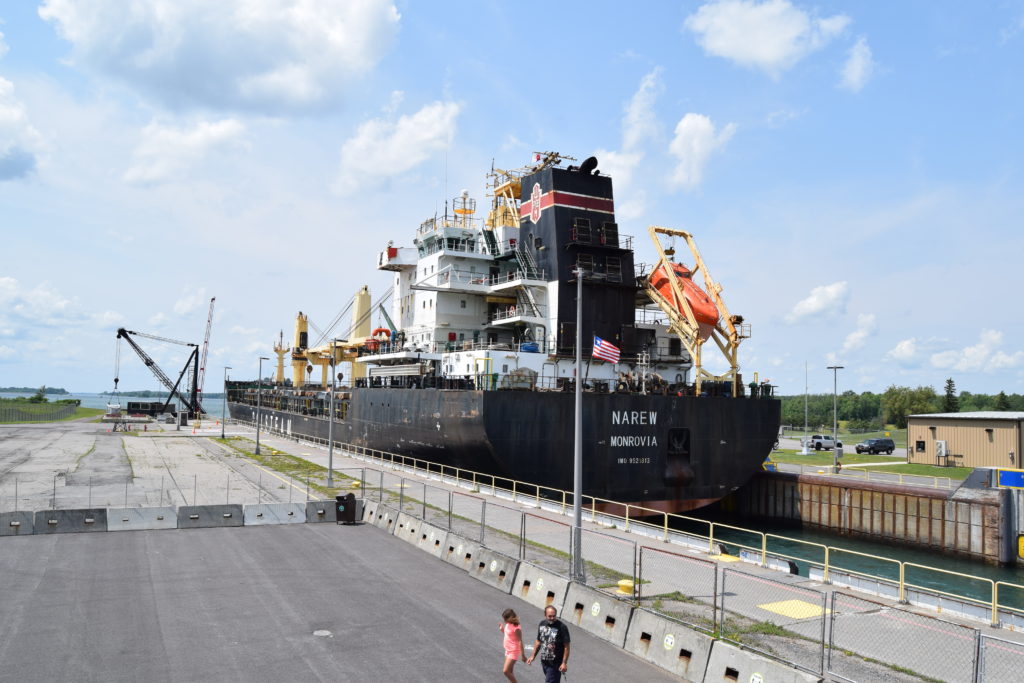
It is about 80 miles from where we are camping and took about an hour and a half to get there. We were fortunate and our timing was perfect. They were just shutting the gate for four sailboats and one power boat in the lock when we got there. From the observation platform, we could only see the mast of one of the sailboats, so we were surprised when the lock filled with water and we could see the other boats. If we ever go again, we will call the number one of the tour guides gave me (315-769-2422) for the anticipated ship schedule. Fortunately, we did not have to wait very long before a larger ship came through. This was a shorter freighter than most of the container ships, but it still had very little room. The Eisenhower lock is 766’ long and 80’ wide. This ship looked to be the 78’ maximum width allowed.
It was cool watching the ship maneuver into the lock. There is a bulkhead at an angle right before the lock. After pulling alongside the bulkhead, the captain pushed the stern out about 20’, which aligned the ship perfectly to head into the lock. Once the ship was fully within the lock, large suction type devices on the sides of the lock were lowered and attached to the side of the ship and then the back lock was shut. Randy had his hand-held radio with the marine channel so he could listen to the ship talk to the lock crew. Lots of the other people on the observation deck gathered around so they could also listen to the conversation too! It didn’t take long before the lock was filled with the 22 million gallons of water needed to bring the ship up to the correct height so that it could proceed out of the lock. And no pumps needed. The water fills by gravity!
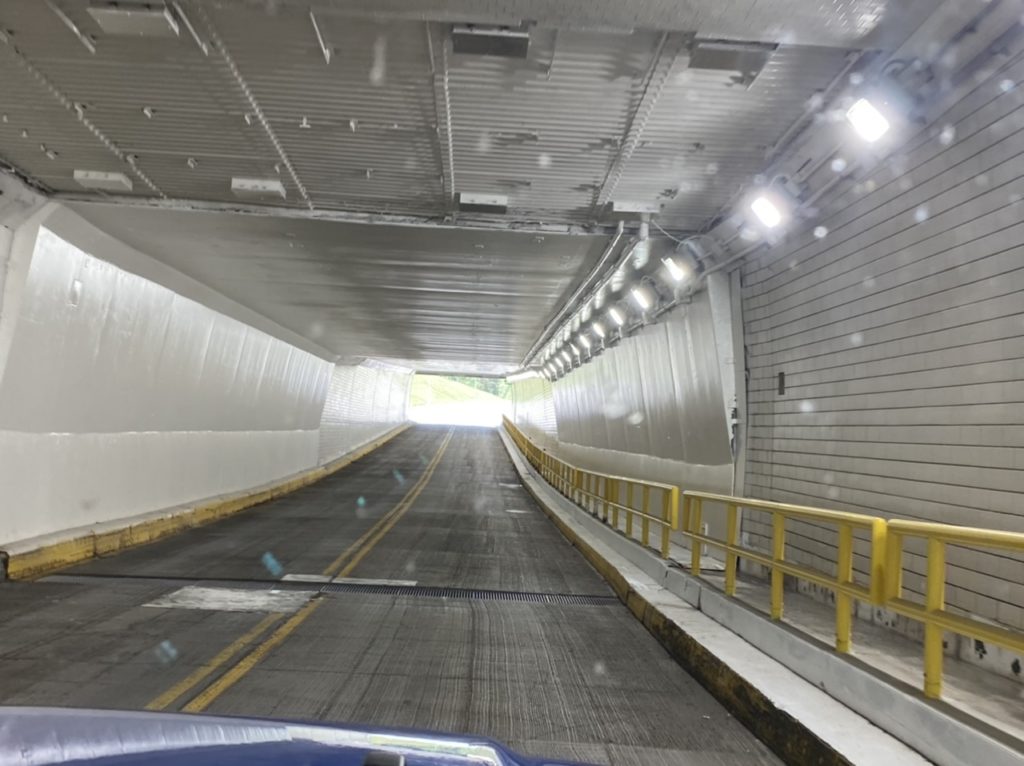
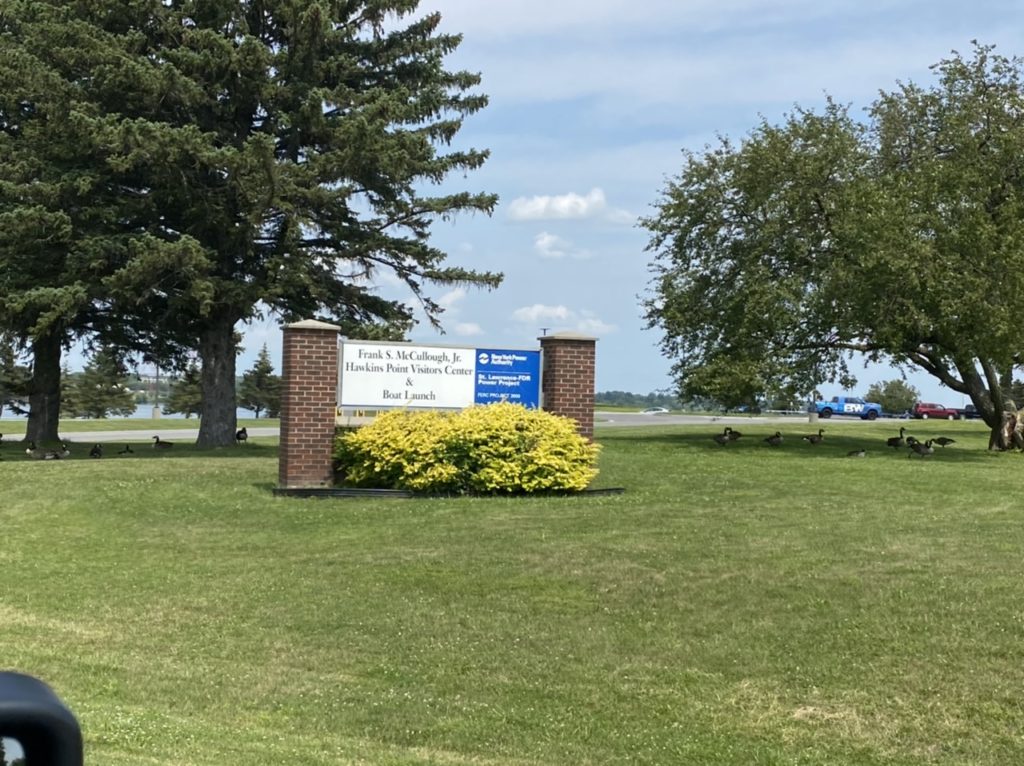
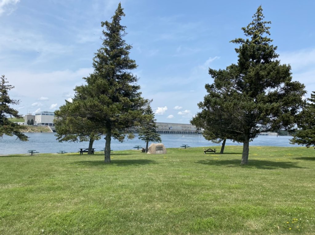
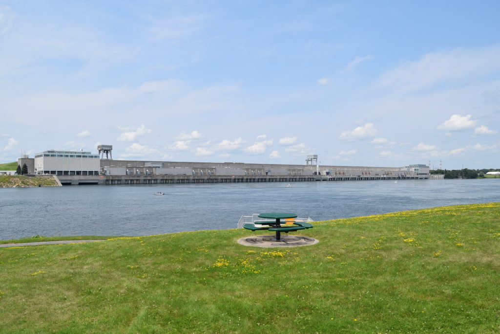
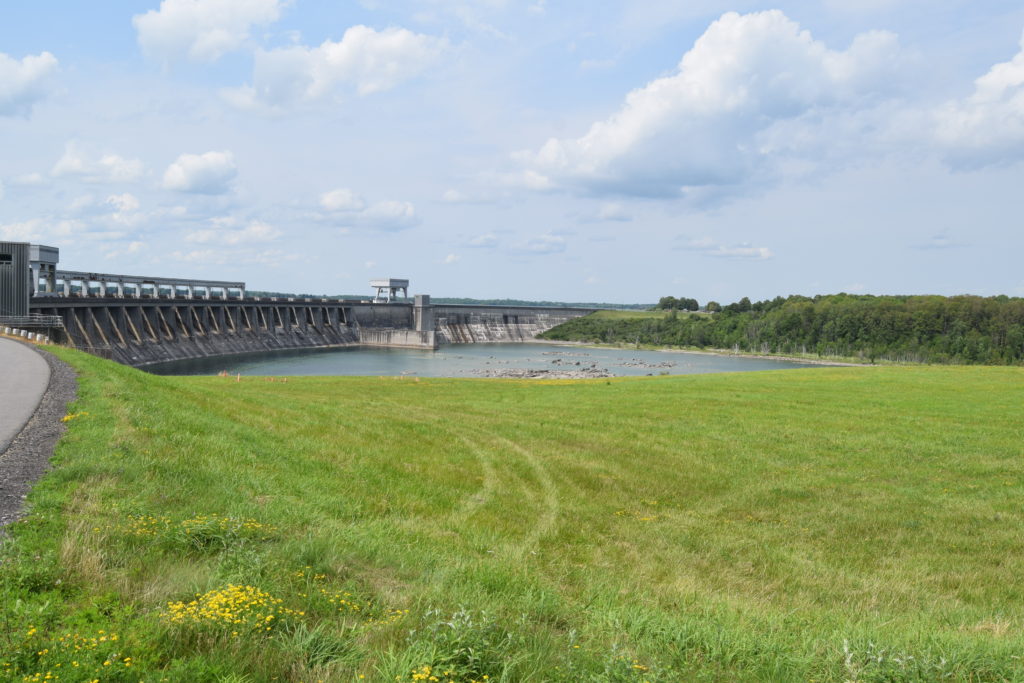
After taking a few more pictures, we headed for the Hawkins Point Visitor Center and the nearby dams; however, we had to go through the Eisenhower Lock Tunnel to get there. It is a short tunnel that goes under the lock! It’s the only tunnel to go under a lock in the US. The visitor center provided lots of information on how the dams were built with interactive demonstrations on how power is made and used. You can view the Moses-Saunders Power Dam from the visitor’s center. The dam was constructed across the river; half on the Canadian side and half in the U.S. This dam raises the water level for shipping into Canada but also supplies a significiant amount of hydroelectric power. The power station at the Moses-Saunders Dam contains 32 turbine generators. 16 on the Canadian side and 16 for the US. While the dam provides an enormous amount of electrical energy, the project also had long-term negative environmental impacts on the area. Almost 7,000 people had to be relocated, with some being forced to move. Towns were lost and thousands of acres of Native American land were lost. Severe pollution from several factories that were built in the area are now SuperFund clean-up sites. Regulation of the water levels still are concerns with different groups wanting different outcomes. I know the levels near Alexandria Bay appear lower than what we saw the last time we were here when flooding caused extensive damage. This year the water level appears to be closer to low Fall levels. The engineers that we met during our tour of the visitor center attempted to inform us on how the flow of water is regulated and the steps that are taken to ensure the levels are kept at the required levels, I am not sure how much I understood; or agreed with.
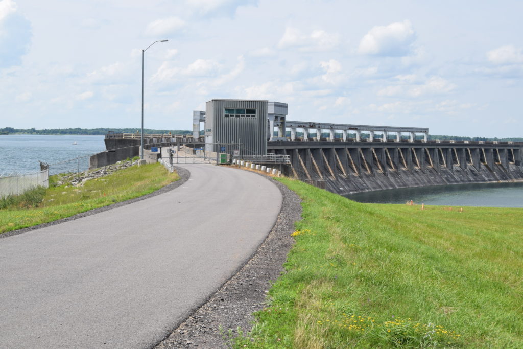
Before leaving the area, we also stopped to view the Long Sault Dam. This second dam was completed in the 1950s with a massive arch spillway. It is 2960′ long and 109′ high. It serves as a spillway to relieve flood waters on the river. It is not used for hydroelectric generation There was no water spilling over the dam today. I am glad Randy suggested this road trip to view the area. The drive was beautiful and we are always up to see any type of boating.